How does the Bordeaux tram work for a visitor?
A visitor's guide to Bordeaux's tram network: how it works, where to board, and how to pay for a ride.
Read on
A network built for walking, not just riding
Bordeaux rewards visitors who walk. The historic center, the quays and the eighteenth-century streets around the Grand Théâtre sit close together, much of the old town is pedestrian, and the redesigned quays run for four and a half kilometers along the river, making a continuous promenade described on the Port of the Moon page. Most sightseeing on a first visit happens on foot, from the cathedral quarter down to the riverfront squares.
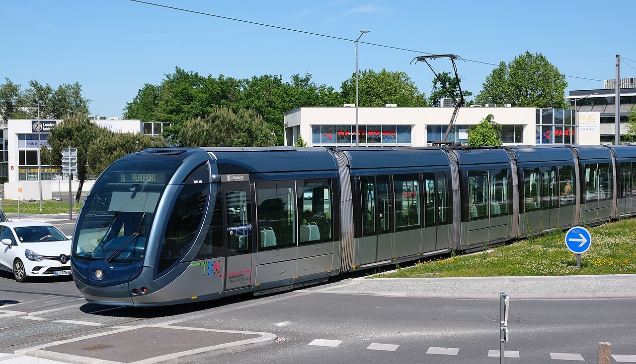
The tram comes into its own for the longer hops: out to the train station, up to the Chartrons, across the river, or out to the Cité du Vin, all destinations that sit well beyond a comfortable walk with sightseeing already built into the day. The whole network, tram, bus and river shuttle, is run under one name, TBM, Transports Bordeaux Métropole, and covered by a single ticket system, so one card or app serves every mode except the public bikes, which run separately.
Some links on this page are affiliate links. If you book through one we may earn a commission, at no extra cost to you. It does not affect what is recommended here, and no sight page on this site carries one.
Mobile data keeps tram times and maps to hand from arrival.
Why the tram looks the way it does
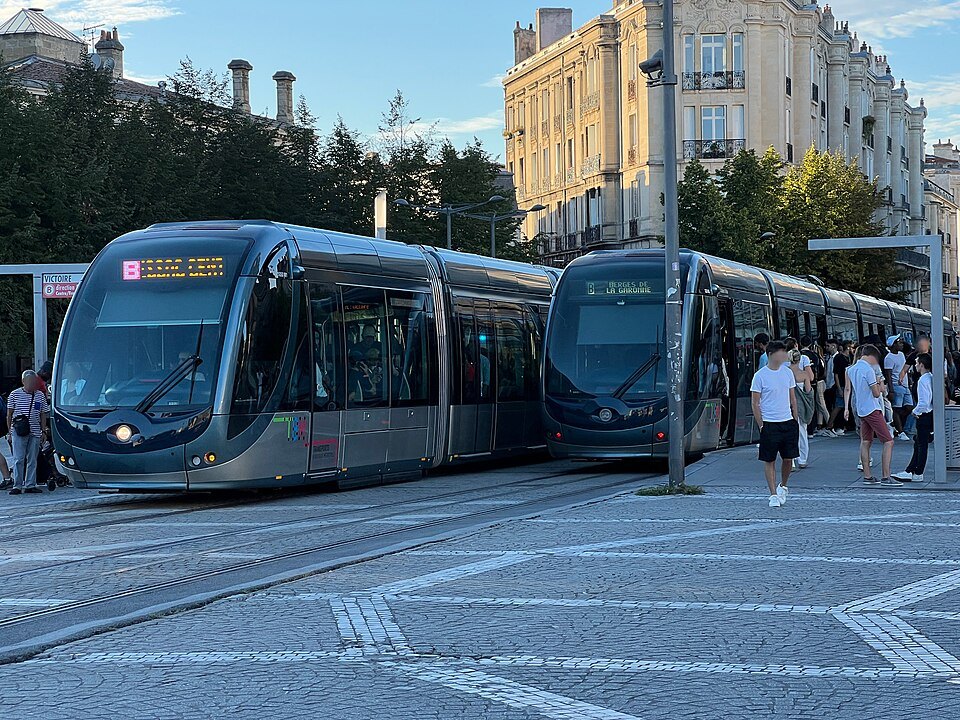
The modern tramway opened in December 2003 and has grown since into the backbone of the city. Since December 2025 it has run to six lines, A to F, covering some eighty-two kilometers of track, one of the largest networks in the country. It replaced an older system: Bordeaux once had thirty-eight tram lines and two hundred kilometers of track in 1946, a network that even tried an early form of ground-level power on a few stretches, before the lines were closed one by one as cars multiplied and the last tram ran on 7 December 1958.
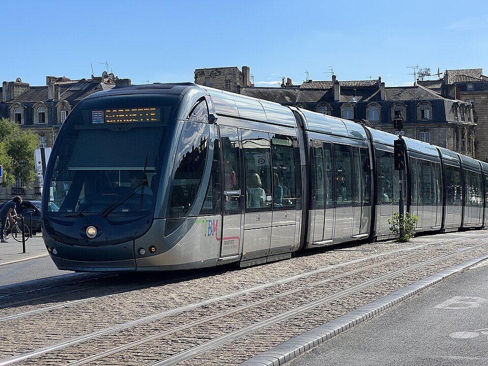
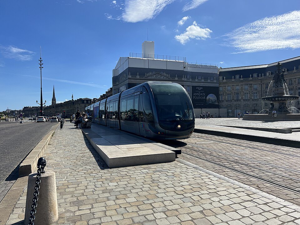
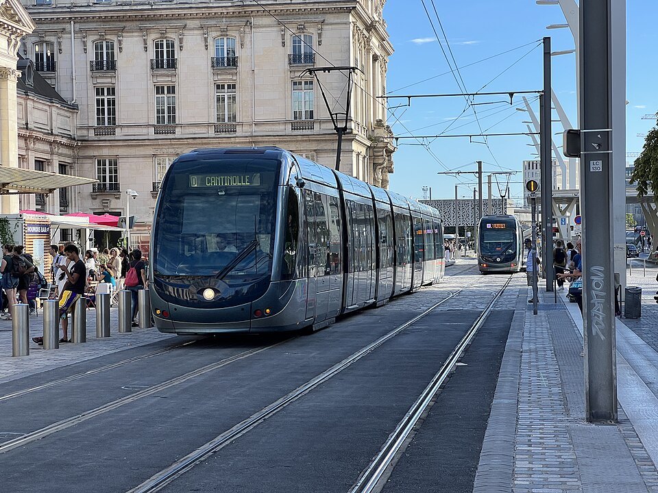
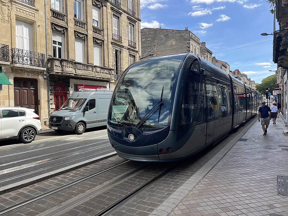
What makes the modern network unusual is how it draws power through the historic center. Bordeaux was the first modern network in the world to use a ground-level supply instead of overhead wires, feeding the trams through a third rail set into the street so that no cables cross the stone facades around squares such as the Place de la Bourse or the cathedral. Outside the center the trams switch to ordinary overhead lines. That choice, and the decision to bring the tram back at all, is a large part of why the old town looks the way it does today, with no wires cluttering the view upward toward the eighteenth-century buildings.
The stops that matter to a visitor
Three stops come up again and again on a short stay. Quinconces, beside the esplanade near the Quinconces, is the busiest interchange on the network and a natural point to get your bearings before heading in any direction, whether toward the old town or out to the quays. Hôtel de Ville, on the Place Pey-Berland next to the cathedral, is served by lines A, B and F, and puts visitors within a short walk of the Pey-Berland Tower and the Palais Rohan. Porte de Bourgogne, at the city end of the Pont de Pierre, is served by five of the six lines and is the usual point of arrival for anyone crossing from the right bank.
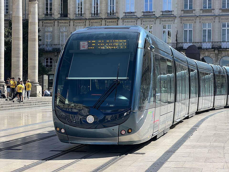
One stop is deliberately understated: the Place de la Bourse stop was built without shelters or ticket machines, so as not to interrupt the view of the riverfront square and the water beyond it. Trams run from early morning until well after midnight, with later services at the end of the week, but the exact first and last departures vary by line and direction, so check the network's own timetable before planning an early start or a late return to a hotel.
Buying a ticket and validating it
Tickets take the form of contactless cards that can be topped up repeatedly, up to ten times on the same card. They are sold at machines at tram stops, apart from Place de la Bourse, and at tobacconists, newsagents and the network's agencies at Quinconces and at Saint-Jean station, so a first ticket can usually be bought within a few minutes of arriving anywhere in the center. The machines take bank cards but not phone payments, so carry a card rather than relying on a phone alone. A phone app has also allowed passengers to buy and validate a ticket directly on their handset since 2019, which suits anyone who prefers not to queue at a machine.
Options include single journeys, books of ten, and passes covering one, two or three days or a week; a day pass is worth working out on arrival if several rides are planned, since it pays for itself quickly once a visitor is moving between the station, the quays and the Chartrons in the same day. Whatever ticket is bought, it has to be validated at the start of every ride, tram or bus, including after a change between lines. Inspections have become more frequent in recent years, and travelers without a validated ticket are fined, so keep the ticket to hand until the journey ends. Fares change regularly and are best checked on the operator's own site rather than assumed from a previous visit.
Crossing the river
The Garonne is effectively the city's main street, and there are three ways over it that a visitor is likely to use. The Pont de Pierre, closed to private cars since 2018, carries a tram line and makes a fine walk in its own right, with views back toward the quays and the cathedral spire behind them. Downstream, the Pont Jacques Chaban-Delmas has paths reserved for walkers and cyclists outside its towers, and is worth the detour for anyone curious about its lifting central span, though the timing of any lift should be checked with the operator rather than assumed.
The third option is the river shuttle, known as Le Bato, launched in 2013 under the name BatCub, which runs three lines between pontoons on both banks, including a stop at the Cité du Vin. It uses the same ticket as the tram and bus network and doubles as a short river trip in its own right, giving a different view of the crescent-shaped waterfront described on the Port of the Moon page. Its own timetable, including any seasonal changes, is set by the operator and worth checking before planning a crossing that depends on it, especially outside the busiest hours.
Bikes, buses and driving
Le Vélo, formerly known as VCub, is the public bike scheme, with about one hundred seventy docking stations across the metropolis, around a hundred of them inside Bordeaux itself, and some two thousand bikes, about half of them electric. Separate cycle paths run along the quays and the two newer bridges, which makes the riverfront easy and mostly flat riding for a visitor happy to pedal rather than walk. The scheme runs on its own accounts and passes, entirely apart from the tram ticket system, so a tram card will not unlock a bike.
Buses fill in the gaps between tram lines. The Lianes routes run frequently, roughly every six to twelve minutes at busy times, alongside express buses and on-demand services, and Flex'Night buses cover the weekend nights when trams have stopped running. Most visitors staying in the center will rarely need a bus, since the tram and walking cover almost everything of interest; the getting here page covers the airport tram, now line F, and the trains arriving at Saint-Jean station.
Driving into the old town is best avoided: streets are narrow and often pedestrian, parking is paid throughout, and trams take priority on their own lanes. Anyone arriving by car is better off using one of the park-and-ride car parks beside the tram lines on the edge of the city, which work during the tram's operating day and cannot be used overnight; a single fixed charge covers the car and up to five people riding the tram into the center, which is usually cheaper and less stressful than searching for street parking near the quays.
More from the journal
- Getting HereHow do you get from Bordeaux airport to the city center?Bordeaux-Mérignac airport lies twelve kilometers west of the city. The tram, now line F, runs from the terminals through the center to Saint-Jean station; there is also a shuttle, a city bus and the option of a booked transfer.Read the piece
- The Port of the MoonWhy is Bordeaux called the Port of the Moon?The name comes from the crescent-shaped bend of the Garonne, and it runs from the medieval arms of the city to its modern logo and its UNESCO listing. Here is where to see the curve, and why the river is the color of caramel.Read the piece
- Getting HereIs it better to reach Bordeaux from Paris by train or by plane?Weighing the TGV against Bordeaux-Mérignac for the Paris to Bordeaux journey, station by station and terminal by terminal.Read the piece