Home · Getting Around
Five ways to move, one network
On foot
The old town, the quays and the eighteenth-century grid are close together, and much of the center is pedestrian.
- Rue Sainte-CatherineA pedestrian shopping street 1,250 meters long, from the Grand Théâtre to the Place de la Victoire
- The quaysFour and a half kilometers of riverside promenade on the left bank
- Across the riverThe Pont de Pierre and the lift bridge both have paths for walkers
Most sights on this site are within half an hour's walk of the Place de la Bourse.
By tram
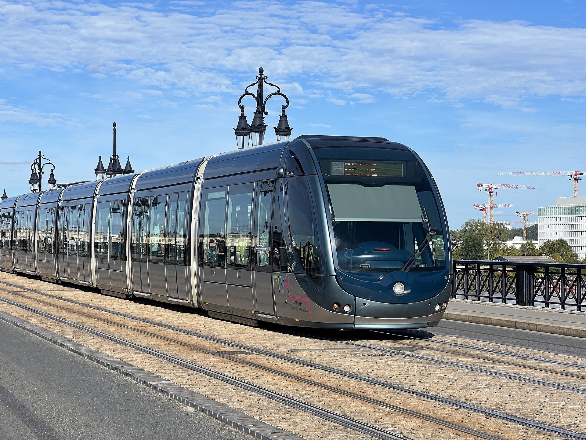
Six lines, A to F, with a total of eighty-two kilometers of track since December 2025; the first network in the world to use ground-level power without overhead wires.
- QuinconcesThe main interchange, where several lines meet
- Hôtel de VilleAt the cathedral and the Palais Rohan, on lines A, B and F
- Porte de BourgogneAt the Pont de Pierre, on lines A, C, D, E and F
- AirportLine F, about thirty-five minutes to the center
Validate your ticket on board every time you board.
By boat
Le Bato, the network's river shuttle, has crossed and plied the Garonne since 2013, on three lines since 2023.
- Between the banksCrossings between the left-bank quays and La Bastide
- Up and down the riverPontoons along the quays, including one at the Cité du Vin
The same tickets are valid on the boat as on the tram and buses.
By bike
Le Vélo, the public bike scheme, has about 170 stations, around a hundred in Bordeaux itself, and some 2,000 bikes, half of them electric.
- The quaysSeparated paths along the river, and across both newer bridges
- The stationsDocks across the center, in park-and-ride car parks and at the stations
The bikes need their own account; tram tickets are not valid on them.
By bus
A large bus network fills the gaps, from frequent Lianes lines to express buses and on-demand services late at night.
- LianesThirteen frequent lines, every six to twelve minutes at busy times
- NightOn-demand Flex'Night buses on weekend nights
Buses stop across the center; the tram is simpler for visitors.
Getting Around
How the city moves
Bordeaux is a walking city. The historic center, the quays and the eighteenth-century streets around the Grand Théâtre lie close together, much of the old town is pedestrian, and the four and a half kilometers of redesigned quays make a continuous promenade along the river. On a first visit you will do most of your sightseeing on foot and use the tram for the longer hops, to the station, to the Chartrons and the Cité du Vin, or across the river.
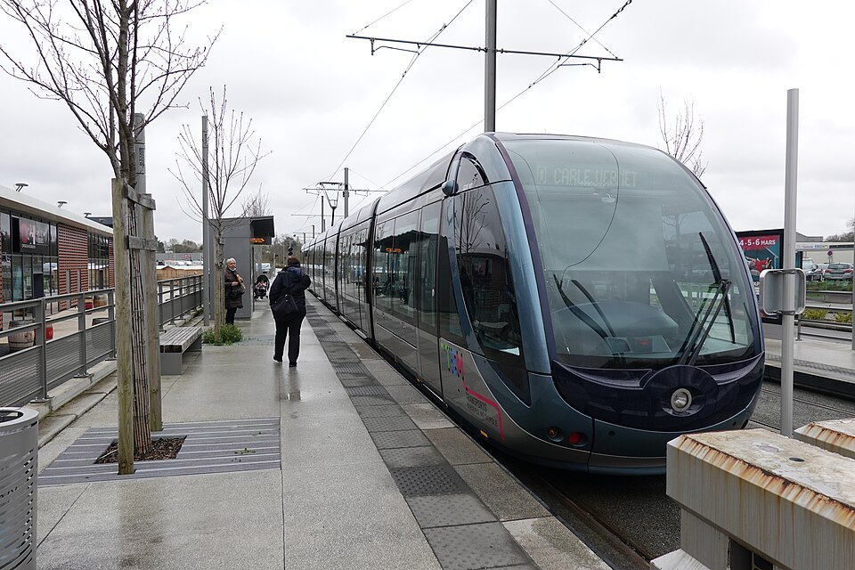
The city's transport network is run under the name TBM, Transports Bordeaux Métropole, and one ticket system covers the tram, the buses and the river shuttle. Only the public bikes work separately.
The tram
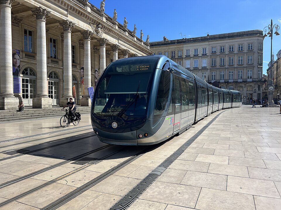
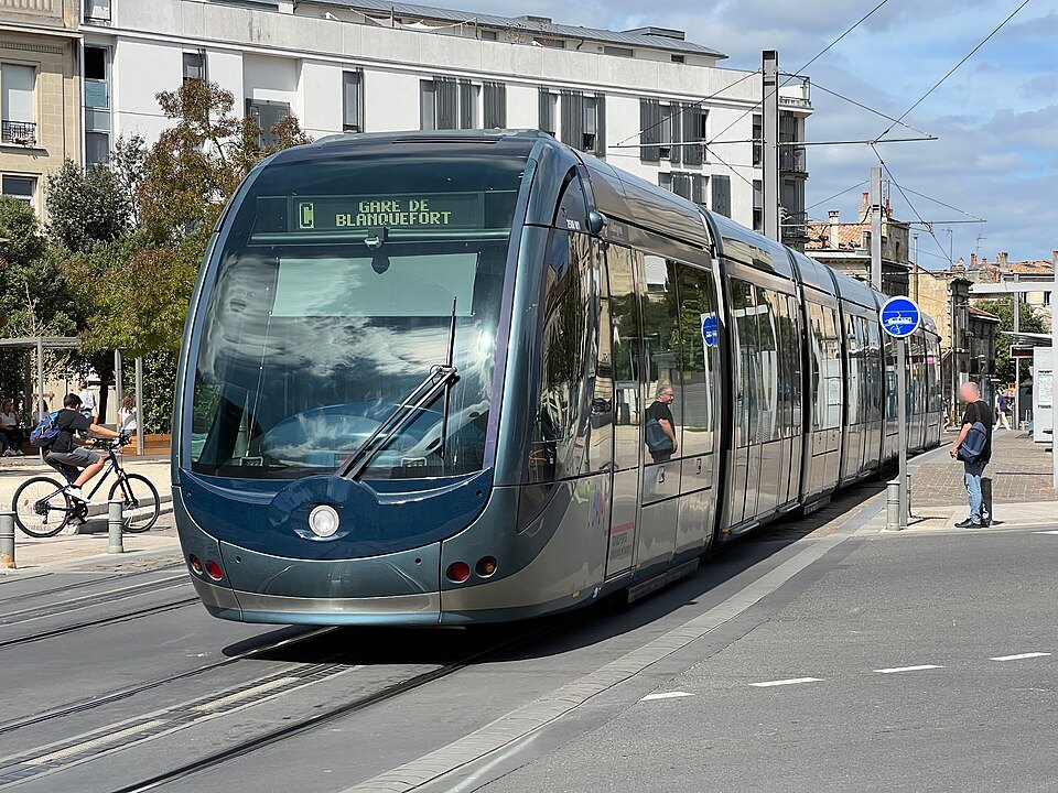
The modern tramway opened in December 2003, and it is the backbone of the city. Since December 2025 it has six lines, A to F, with some eighty-two kilometers of track, one of the largest networks in France. Bordeaux was the first modern network in the world to use a ground-level power supply instead of overhead wires: through the historic center the trams draw their current from a third rail set in the street, so no cables cross the stone facades. Outside the center they switch to overhead lines.
Three stops matter most to visitors. Quinconces, beside the esplanade, is the main interchange of the whole network. Hôtel de Ville, on the Place Pey-Berland beside the cathedral, is served by lines A, B and F. Porte de Bourgogne, at the city end of the Pont de Pierre, is served by lines A, C, D, E and F. The Place de la Bourse stop was built without shelters or ticket machines so as not to spoil the view. Trams run from early morning until after midnight, later at the end of the week; check the network's timetable for your line.
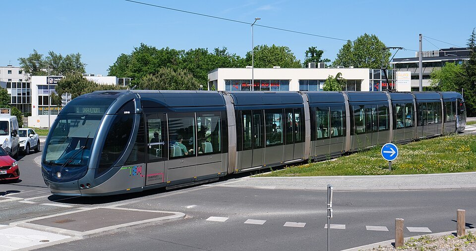
The tram is a return, not an invention. Bordeaux had a large network before the war, thirty-eight lines and two hundred kilometers of track in 1946, and even tried an early form of ground-level power on a few stretches; the lines were closed one after another as cars multiplied, and the last tram ran on 7 December 1958. The decision to bring it back, with the wires hidden in the center, is a large part of why the old town looks as it does today.
Tickets and validation
Tickets are contactless cards that can be recharged up to ten times, sold at machines at tram stops, except at the Place de la Bourse, and at tobacconists, newsagents and the network's agencies at the Quinconces and Saint-Jean station. The machines do not accept phone payments, so carry a bank card. There is also an app, which since 2019 lets you buy a ticket and validate it on your phone.
Single journeys, books of ten, and passes for one, two or three days and for a week are available; a day pass pays for itself quickly if you plan several rides. Whatever you buy, validate it each time you board a tram or bus, including when you change. The operator has increased the number of inspectors in recent years and fines travelers without a validated ticket. Prices change, so check them on the network's site; none are given here.
Across and along the river
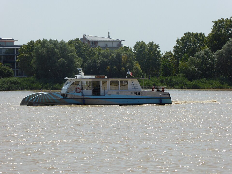
The Garonne is the city's main street, and there are three ways to cross it. The Pont de Pierre, closed to private cars since 2018, is a fine walk and carries a tram line. Downstream, the Pont Jacques Chaban-Delmas has paths for walkers and cyclists outside its towers. And the river shuttle, Le Bato, launched in 2013 under the name BatCub, runs three lines between pontoons on both banks, including one at the Cité du Vin. It is part of the same ticket system as the tram and makes a pleasant river trip in its own right.
The redesigned quays on the left bank are shared by walkers, runners and cyclists; the Port of the Moon page describes the whole crescent. On the right bank, the paths through the gardens of La Bastide give the best views back across the water.
Bikes, buses and taxis
Le Vélo, formerly VCub, is the public bike scheme, with about 170 docking stations, around a hundred of them in Bordeaux itself, and some two thousand bikes, about half of them electric. The quays and the two newer bridges have separate cycle paths, which makes the river front easy riding. Tram tickets do not cover the bikes; they have their own accounts and passes.
The bus network is large, with frequent Lianes lines every six to twelve minutes at busy times, express buses and on-demand services, including Flex'Night buses on weekend nights. Most visitors will rarely need a bus in the center. The getting here page covers the airport tram, now line F, and the trains from Saint-Jean.
Driving and parking
Do not bring a car into the center if you can avoid it. The streets of the old town are narrow and often pedestrian, parking is paid everywhere, and the tram lanes take priority. If you arrive by car, use one of the park-and-ride car parks beside the tram lines on the edge of the city, which work during the tram's operating day and cannot be used overnight; a single fixed charge covers the car and up to five people on the tram.
For trips out of town, the day trips page says which destinations are easy by train and which are better by car.
Services we link to
Some links on this page are affiliate links. If you book through one we may earn a commission, at no extra cost to you. It does not affect what is recommended here, and no sight page on this site carries one.
Between a morning train and an afternoon check-in:
More photographs
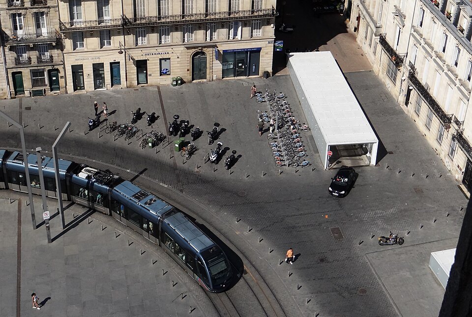
A tram curving through the Place Pey-Berland, seen from aboveKvardek du, Wikimedia Commons, CC BY 4.0 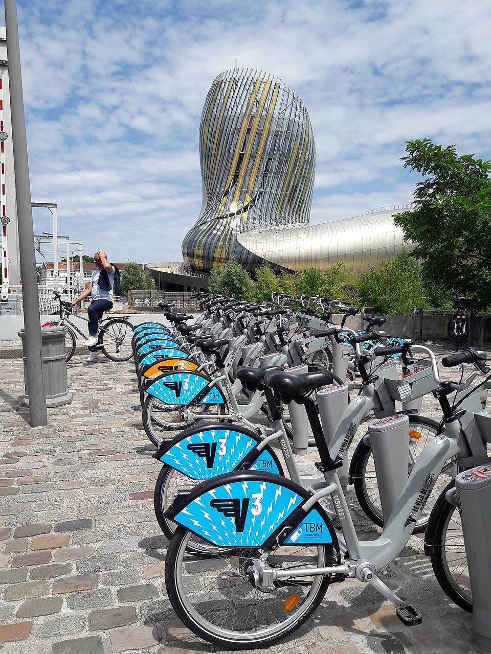
Public bikes docked near the Cité du VinBert76, Wikimedia Commons, CC BY-SA 4.0 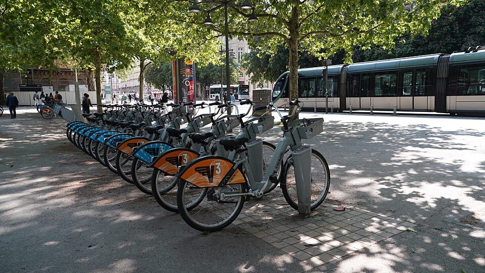
A row of public bikes under plane trees, a tram passing behindCykleo, Wikimedia Commons, Public domain 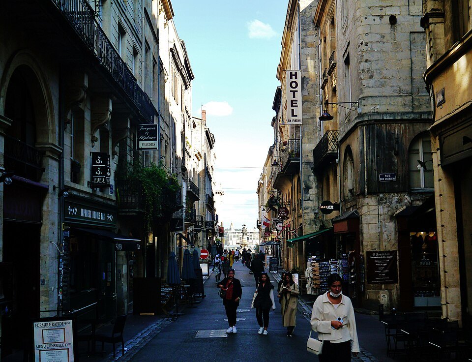
The narrow Rue Saint-Rémy running down toward the riverZairon, Wikimedia Commons, CC BY-SA 4.0 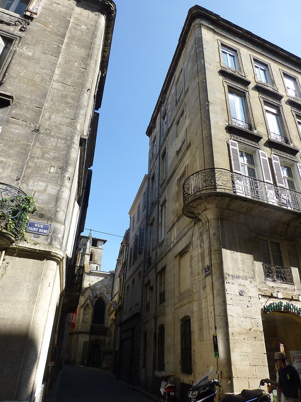
Tall stone houses in a narrow street of the old townAls33120, Wikimedia Commons, CC BY-SA 4.0