Is Bordeaux easy to explore by bike?
How cycling fits into Bordeaux's transport mix, where the riding is easiest, and where it makes more sense to walk.
Read on
A city shaped for easy cycling
Bordeaux is a walking city at heart. The historic center, the quays and the eighteenth-century streets around the Grand Théâtre sit close together, much of the old town is pedestrian, and a first visit tends to be spent mostly on foot, with the tram covering the longer hops. But the same compactness, and above all the four and a half kilometers of redesigned quay along the Garonne, make the riverfront genuinely easy riding on a bike. A short, flat stretch along the water covers ground that would take far longer on foot, and it sidesteps the tram altogether at busy interchanges.
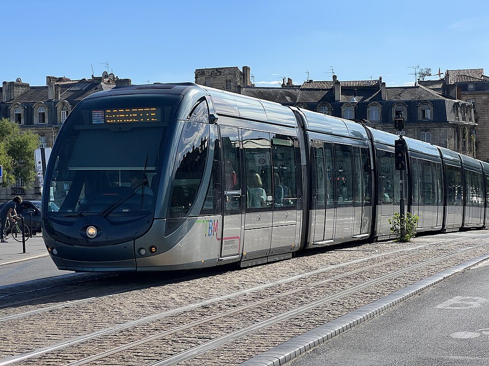
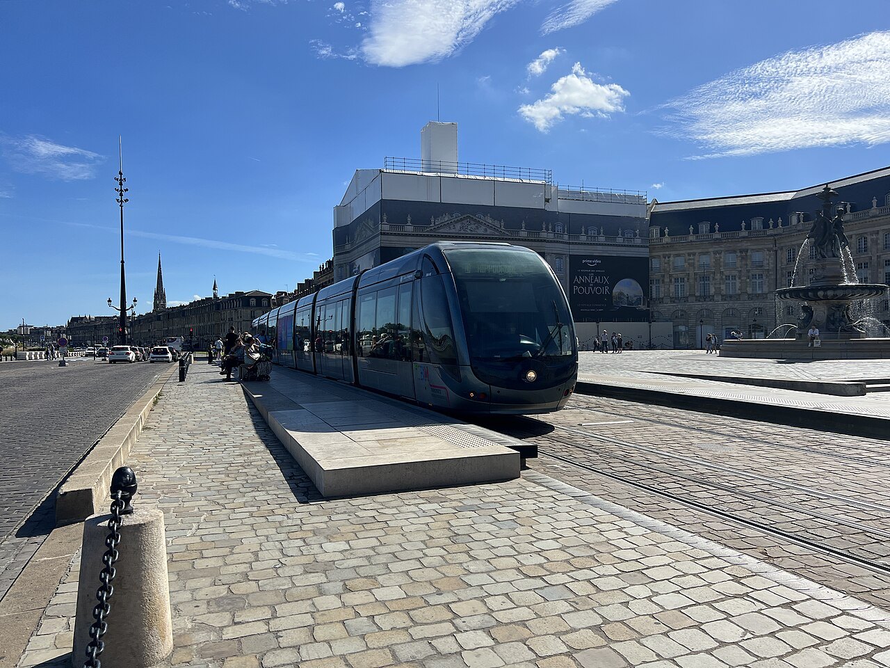
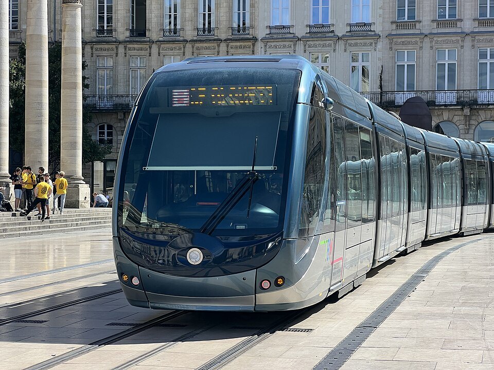
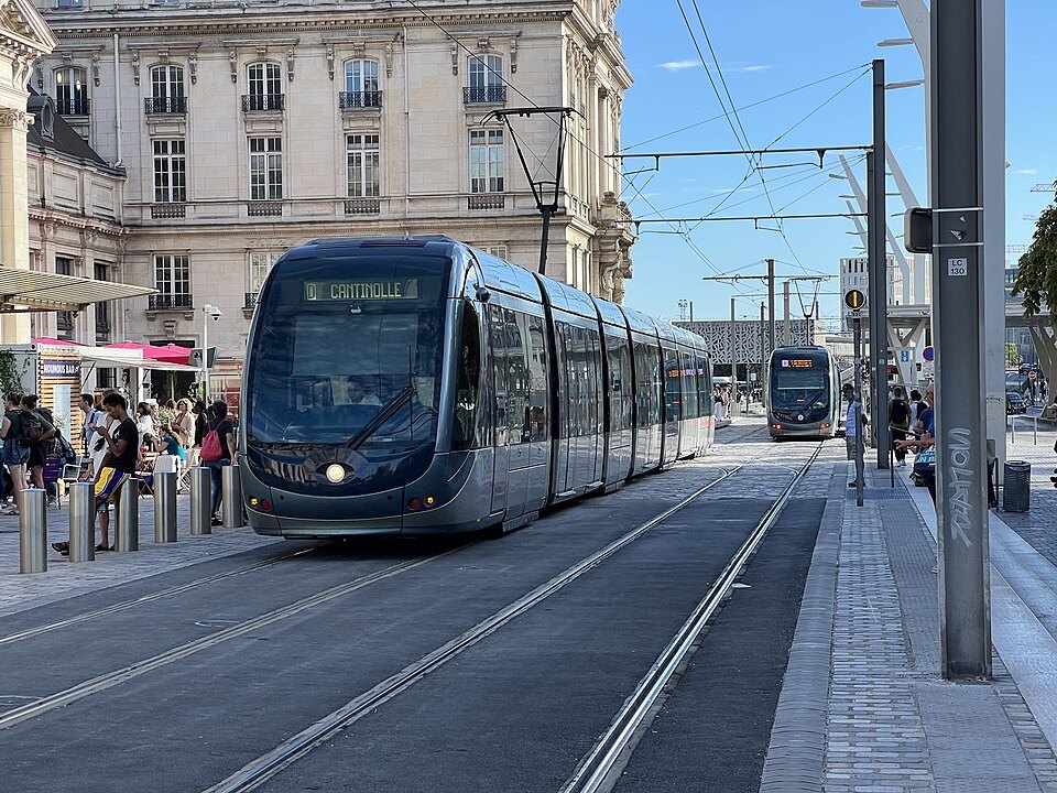
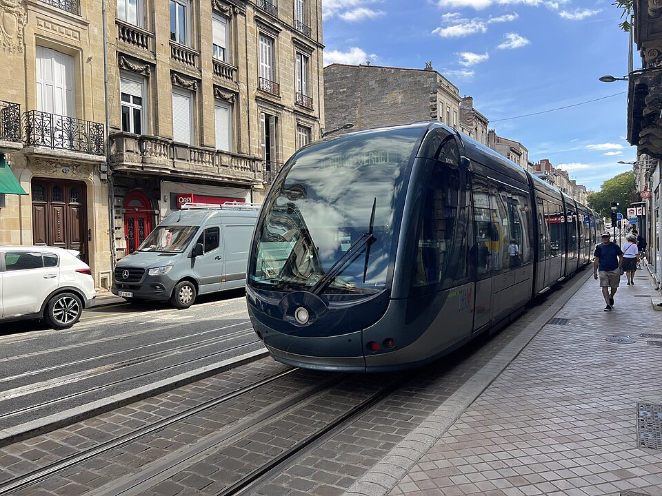
The city's public transport runs under one name, TBM, Transports Bordeaux Métropole, and a single ticket system covers the tram, the buses and the river shuttle. Bikes are the one exception: the public bike scheme works on its own account and ticket system, entirely separate from the TBM card or app. That distinction is worth knowing before arrival, since a tram pass bought for several days of sightseeing will not unlock a bike, and the two have to be arranged independently.
Some links on this page are affiliate links. If you book through one we may earn a commission, at no extra cost to you. It does not affect what is recommended here, and no sight page on this site carries one.
Mobile data keeps tram times and maps to hand from arrival.
Le Vélo, the public bike scheme
The public bike scheme, called Le Vélo and formerly known as VCub, runs about one hundred seventy docking stations across the metropolis, roughly a hundred of them within Bordeaux itself, and around two thousand bikes, close to half of them electric. That density means a docking station is rarely far away in the center and along the river, though coverage naturally thins out toward the edges of the city and in the separate communes of the wider metropolis.
Because the scheme keeps its own accounts and passes, a visitor needs to register with Le Vélo directly, through its machines at the stations or through its own app, rather than assuming a transit ticket will work. Check Le Vélo's own site or the terminals at a docking station for how short-term visitors sign up, what identification or deposit is asked for, and how standard and electric bikes are allocated between stations, since none of this is standardized with the tram and bus system.
Where the riding is easiest
The redesigned quays on the left bank are shared by walkers, runners and cyclists, and they form the most comfortable stretch of cycling in the city: wide, flat, free of cross traffic, and running the full length of the crescent described on the Port of the Moon page. Riding from one end to the other gives a sense of the riverfront's scale that no single viewpoint on land can match, and it can be done at whatever pace suits the visitor, with stops along the way at the squares and gardens that line the water.
On the right bank, the paths through the gardens of La Bastide give some of the best views back across the Garonne toward the old town, and they connect naturally into a loop: cross by one bridge, ride the gardens, and return by the quays on the opposite bank. For a visitor with limited time, a loop of this kind is one of the more efficient ways to take in both banks of the river in a single outing, without retracing the same ground twice.
Crossing the river on two wheels
Of the two newer river crossings, the Pont Jacques Chaban-Delmas is the more straightforward for a bike: it has dedicated paths for walkers and cyclists running outside its towers, separate from the roadway and from any tram traffic. The bridge's own page covers its design and its lifting span in more detail, both worth reading before a crossing, since the lifting span affects the structure rather than the cycling route itself but is part of what makes the bridge worth a stop in its own right.
The Pont de Pierre, closer to the old town, has been closed to private cars since 2018 and carries a tram line as well as pedestrians along its length. Whether cycling is comfortable or even permitted on it at a given time is worth confirming locally, since tram movements share the same deck; a visitor relying on this bridge for a crossing should check current conditions rather than assume it works the same way as the Chaban-Delmas paths.
The river shuttle, which runs under the same TBM ticket system as the tram between pontoons on both banks, including one at the Cité du Vin, is built mainly for passengers. Whether it can carry a bike on board is a question for the operator rather than something to assume in advance, and for a cyclist the two bridges remain the more reliable way to cross the Garonne.
Where a bike stops being the right tool
Much of the historic center is pedestrian, with narrow streets and tram lanes that take priority over other traffic, and this is where cycling becomes more trouble than it is worth. Riding through the tight lanes around the cathedral or the Grand Théâtre is neither faster nor more pleasant than walking them, and a bike left docked rather than ridden through this part of town is usually the sounder choice, both for ease and for avoiding the pedestrian flows that fill these streets for much of the day.
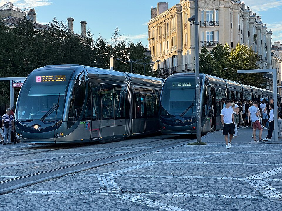
The practical pattern for most visitors is to use a bike for the open stretches, the quays, the newer bridges and the gardens across the river, and to switch to walking, or to the tram, once inside the dense core covered on the main getting around page. Treating the bike as one tool among several, rather than the only way to move through the city, fits how Bordeaux itself is laid out, with a compact, largely car-free center ringed by open river frontage that rewards a wheel rather than a boot.
Before setting out
Prices, deposits and the exact mechanics of registering for Le Vélo change over time, and none of them are given here; check the scheme's own site or its terminals before building a day's plans around a bike. The same caution applies to the exact locations of docking stations, which shift occasionally as the network grows, and to the balance of standard and electric bikes on offer at any one station on a given day.
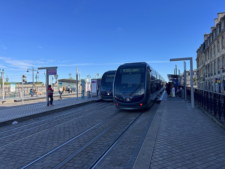
For everything else involved in moving around the city, including how the tram network and its ticketing work, the bus system, the river shuttle and the park-and-ride car parks on the edge of town, the fuller picture sits on the main getting around page rather than here, since a bike alone will only ever cover part of how a visitor gets from one sight to the next.
More from the journal
- Getting AroundHow does the Bordeaux tram work for a visitor?A visitor's guide to Bordeaux's tram network: how it works, where to board, and how to pay for a ride.Read the piece
- The Port of the MoonWhy is Bordeaux called the Port of the Moon?The name comes from the crescent-shaped bend of the Garonne, and it runs from the medieval arms of the city to its modern logo and its UNESCO listing. Here is where to see the curve, and why the river is the color of caramel.Read the piece
- Getting HereHow do you get from Bordeaux airport to the city center?Bordeaux-Mérignac airport lies twelve kilometers west of the city. The tram, now line F, runs from the terminals through the center to Saint-Jean station; there is also a shuttle, a city bus and the option of a booked transfer.Read the piece